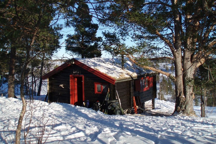
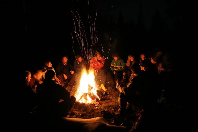
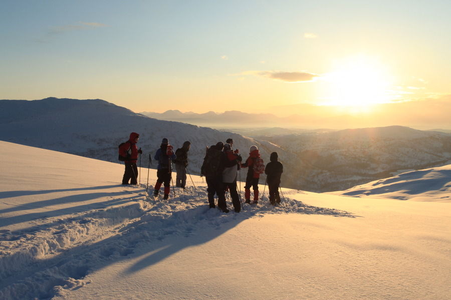


Important information before a cabin trip
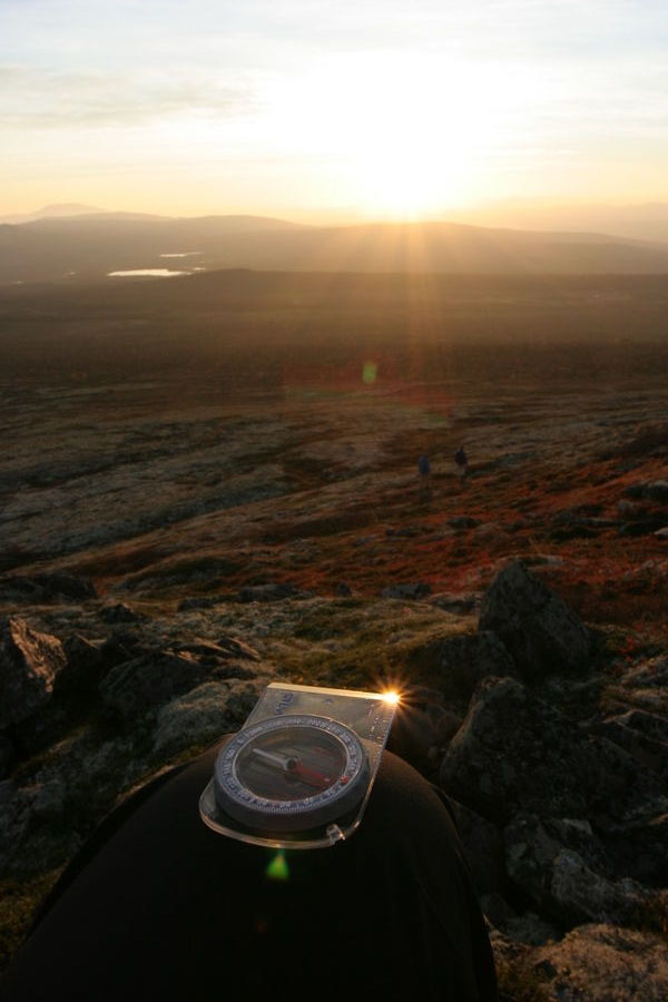
One of the most important things in order to ensure a safe and successful cabin trip is actually finding the cabin. Unfortunately, it is quite common to get lost. Without map and compass you are very likely to get lost. Add some bad weather to that, and things can get really dangerous. So, always take a map and compass onto your trip!
Map

 Topographical map
Even if some of the cabins are easy to find, there are no trails to most of them and you have to find your own way. Borrow or buy a map (see information below) in scale 1:50'000, don't leave just with a copied or printed map from the internet. You might have to alter the route or need additional information from the map!
Check out the overview map further down to find the correct map number for your cabin and trip. Some maps are covering several cabins as shown in the table below the map.
Where to buy a map?
You can buy maps at Akademika at the same place where you book the cabin, or other book shops in town.
Prices vary from 199.- kroner for paper version to 299.- kroner for plastic version. Most of the maps cover several cabins in one map, as it can be seen on the map below.
Where to print a map?
Check out this page where you can get maps as pdf files for free.
You can find both A3 and A4 color printers at NTNU, so printing your own map can be a cheap and good solution. The page is in norwegian, but you chould be able to figure it out. You won't need to change most of the settings.
Which map to choose?(Map is missing information and colouring in some web browsers. You can download a static map here.)
Tynset no. 90
|
Oppdal no. 98
|
Forollhogna no. 99
|
Kyrksæterøra no. 104
|
Orkanger no. 105
|
Trondheim no. 106
|
Selbu no. 107
|
Meråker-Tydal no. 108
|
Fosen no. 113
|
NB! Beside the here mentioned map series, there is also an other 1:50'000 map series available which is called Norge-serien. Unfortunately, the two different map series are not covering the same area per map, even if some of them have the same name! So please be aware of both name and number, when buying a map. All information which is given on this page and for all cabin descriptions is referring to the same, and above presented map series. In addition, popular mountain areas like Trollheimen and Sylane are also covered by other maps which might be more suitable for your trip, depending on the area you want to hike in.
| Overview over the old map series, going out of production in 2012 | |||||||
| Flåkoia | Støren 1621 III | Kråklikåten | Støren 1621 III | Sonvasskoia | Flornes 1721 IV | ||
| Fosenkoia | Leksvik 1622 III | Kvernmovollen | Haltdalen 1620 I | Stabburet | Essandsjøen 1721 II, Tydal 1721 III |
||
| Heinfjordstua | Stjørdal 1621 I | Kåsen | Løkken 1521 III | Stakkslettbua | Vinjeøra 1421 II | ||
| Hognabu | Tydal 1721 III | Lynhøgen | Støren 1621 III | Telin | Trollhøtta 1520 IV | ||
| Holmsåkoia | Tydal 1721 III | Mortenskåten | Selbu 1621 II, Haltdalen 1620 I |
Taagaabu | Tåvåfjellet 1620 IV | ||
| Holvassgamma | Åfjord 1622 IV | Nicokoia | Støren 1621 III | Vekvessætra | Innset 1520 II | ||
| Iglbu | Berkåk 1520 I | Rindalsløa | Vinjeøra 1421 II | Øvensenget | Tynset 1619 I | ||
| Kamtjønnkoia | Oppdal 1520 III | Selbukåten | Stjørdal 1621 I | ||||
Compass
As important as the map! Place map and compass together at an easy accessible place in your backpack. Needed to orientate the map in the right way and to find the direction where to go. Be sure that you know how to use the compass before you leave for your trip! Find out more about how to use a compass.
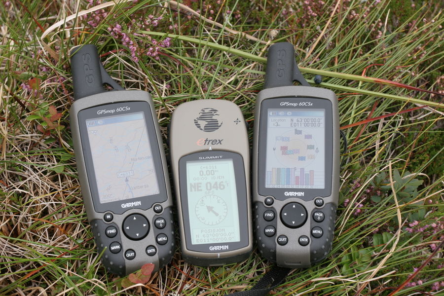
GPS
Popular and nice to have, but don't trust the GPS only! Remember that the shortest way is seldom the fastest and easiest! Really helpful in combination with an ordinary map and in bad weather conditions. We already heard from GPS units losing satellite reception on a trip for hours. Especially in cold conditions batteries can be weak.
Smartphone
Topographical maps for Norway are also available as Smartphone Apps: search for Norgeskart (Android) or NaVida (iPhone). It is temporarily possible to store a certain amount of maps on your smartphone. But please be aware of the same limitations as for the GPS, batteries can be weak in cold conditions and mobile reception is not necessarily given in the mountains if you need to download more maps or better detailed maps!
